Quick Answer
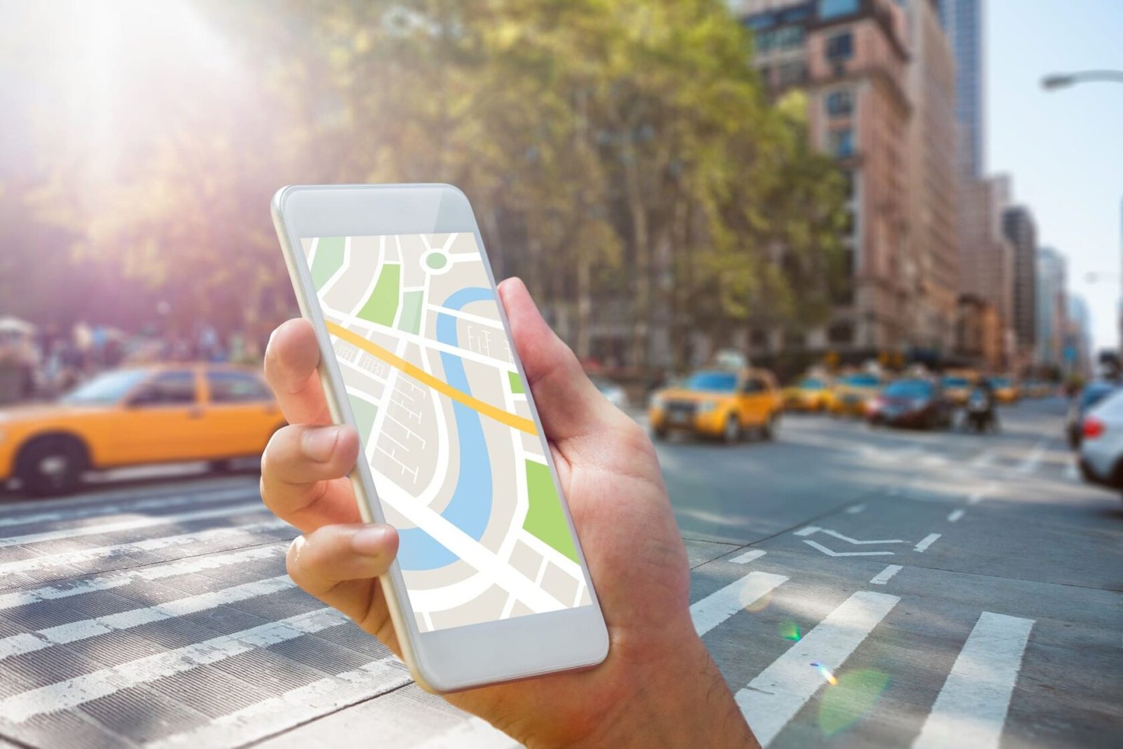
Passengers don't want schedules that don't change; they want accurate arrival times. Modern bus tracking uses GPS, predictive algorithms, and mobile apps to give you real-time ETAs that are accurate to within one to two minutes. This technology makes people feel like they are waiting less and improves ridership by 12–20%.
Are you ready to change how you do business?
Call Fospertise today for a free consultation on your digital transformation journey.
Meeting the Needs of Passengers
Modern travelers who are used to getting real-time information everywhere else find static paper schedules annoying. Real-time bus tracking changes the way people use public transportation from guessing games to journeys that are easy to plan. Being open about when buses will arrive develops trust and gets a lot more people to ride.
Important Tracking Features
- Correct Predictions of When You Will Arrive: Predictive algorithms look at where you are now, how traffic is moving, and how things have been in the past to get 1-2 minute accuracy. Every 30 to 60 seconds, real-time updates change the predictions to keep passengers up to date as conditions change. As time goes on, machine learning gets better at finding patterns and expected delays on specific routes. More than any other transit enhancement, accurate projections make passengers less angry.
- Design for Mobile First: Passengers mostly check arrivals on their cellphones, which need big lettering and easy navigation. Apps work even when you aren't connected to the internet and show your last known location when you lose connection. Progressive web apps don't need to be downloaded from an app store, which makes it easier for people to use them. Accessibility capabilities help riders who are blind or have low vision by making the screen easier to read and by adding high-contrast options.
- Integration of Service Alerts: Automated messages let travelers know right away about delays, changes in routes, and service interruptions. Push notifications reach riders who have signed up for them before they leave work or home. Passengers can tell the difference between little delays and big service disruptions by looking at the alert severity levels. Communicating in a timely manner keeps trust even when service faults happen.
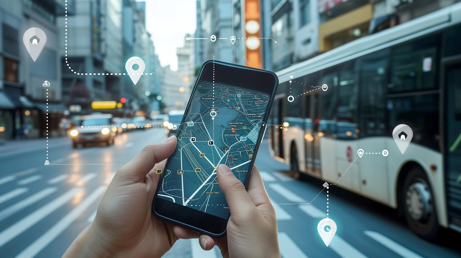
- Information About Stops: Interactive maps show where buses are in real time and use color-coded routes to make it easy to find them. Displays at the stop level show the next three arrivals and, where possible, how crowded they are. Location services immediately show nearby stops, which is helpful for tourists and occasional riders. Detailed stop information makes things less confusing and greatly enhances the entire experience for passengers.
Architecture of Technology
For bus tracking to work well, it needs a strong technical infrastructure that can handle thousands of users at once. Transit authorities can better judge a vendor's skills if they understand its architecture.
- GPS Systems for Vehicles: GPS systems on board give location updates every 10 to 30 seconds and can connect to cellular networks as a backup. Integrating with existing AVL systems makes use of current hardware investments, which lowers the cost of implementation. Ruggedized equipment can handle bus vibrations, severe temperatures, and electrical interference, and it will work for years without needing repairs.
- Platform for Cloud Processing: Scalable cloud infrastructure can accommodate peak demand during rush hours without slowing down. Message queues handle thousands of GPS updates every second and figure out ETAs in real time. Geospatial databases speed up map rendering and halt proximity computations to get quick response times. Auto-scaling dynamically changes capacity to keep performance up even when consumption patterns change.
- Predictive ETA Engine: Machine learning models look at past trip data to find normal patterns and delays that happen often. Real-time traffic integration changes predictions based on the current state of the roads in real time. Statistical confidence intervals show how reliable predictions are, which helps travelers make smart choices. Retraining the model again and over again makes it more accurate as more operational data is collected over time.
- Framework for Mobile Apps: Progressive web apps work like native apps, except they don't have to wait for app store approval or deal with version fragmentation. Responsive design uses a single codebase to make interfaces work across phones, tablets, and kiosks. Offline feature stores recent arrival data so that basic use is possible even when there is no internet connection. Push notification support keeps passengers who are already on the bus up to date on their travels.
- Layer of Integration: For better operational efficiency, APIs link tracking systems with platforms for collecting fares, dispatching, and scheduling. Transit apps like Google Maps and Citymapper can reach more people thanks to real-time data streams. Open standards like GTFS-realtime make it possible for different systems to work together, which is good for the whole region. Full integration turns tracking from a separate tool into an important part of the transit infrastructure.
Putting Into Action and Using
For technology to work, passengers have to use it and it has to be integrated into operations. These techniques get the most out of tracking investments by getting the most people to ride.
- Strategy for a Phased Rollout: First, test high-visibility routes to show their usefulness before rolling out the whole system. Get feedback from passengers early on to find problems and features they want in later phases. Slowly increase, making sure that support resources grow with the number of users. The staged strategy lowers risk while gradually increasing operational knowledge and stakeholder trust.
- Campaigns to Raise Public Awareness: Bus ads, social media, and community activities are all ways that multi-channel marketing teaches passengers. QR codes at stops make it easy to get to the stops right away, which encourages people to use them for the first time. Success stories and reviews from genuine users show that something is valuable and generate trust. Ongoing advertising keeps people aware of the service since new riders find it all the time.
- What Operators Need to Know: Teach dispatchers how to use monitoring tools, handle alerts, and answer passenger questions. Teach operators how to use GPS systems and how to fix problems that come up in the field. Make sure that service continues during technological problems by making clear rules for when systems fail. Comprehensive training makes the most of the system's benefits and keeps technology problems from causing too many problems in the workplace.
- Monitoring Performance: Keep track of how accurate your predictions are, how often people use the app, and what passengers say about it to see how well the system is working. Keep an eye on technical measures like how often GPS works and how often data is sent successfully. Look at trends in ridership that link the use of monitoring with the rise of passengers to see how it affects the business. Regular evaluations show stakeholders the return on investment (ROI) and find ways to improve things.
Improvements to Accessibility
- Voice Announcements: Voice announcements at stops help blind and visually impaired commuters in addition to mobile apps.
- High-Contrast Display Modes: There are high-contrast display modes and big font alternatives for those with different vision capacities.
- Multi-Language Support: Support for multiple languages helps different groups and makes public transportation more accessible.
- Universal Design Principles: Universal design principles make sure that everyone can get real-time information, no matter what their disability is or how good they are with technology.
- Trip Planning Integration: Combine tracking with travel planning tools to make the passenger experience better.
- Digital Signage: Show live information on digital signage at important stops and stations.
- SMS-Based Lookups: Give passengers without smartphones the option to look up their arrival times via SMS.
- Printed Schedule Backup: Keep printed schedules on hand as a backup to make sure they are always available in case of technical problems.
- Passenger Feedback: Collect and analyze comments from passengers to make the system easier to use all the time.
Real-time bus tracking changes the way people use public transportation by giving them the information they really want. Successful implementation includes using the right technology, making the design easy to use, giving thorough training, and keeping up with marketing. Transit agencies that spend their money wisely see more people using their services, higher satisfaction levels, and a better chance of competing with private transportation options. The technology has gone from being a luxury to a need in current transit operations.
Options for Tracking Technology
| Solutions for Transit | Generic Tracking Apps |
|---|---|
| Systems Made for a Purpose Dedicated transit platforms work perfectly with scheduling, AVL, and fare collection systems from the start. Predictive algorithms know how buses work, such as how long they stay at a stop, how many passengers they can carry, and how well they stick to their schedules. Crowd projections, service warnings, and information about wheelchair accessibility are some of the characteristics that are customized to each industry. Proven reliability can manage peak commute demand without any problems with performance. Vendors know the rules for public transportation, how to get money for it, and how to run it. Investing more money gives you better reliability, functionality, and support for transit activities that are vital to your purpose. | Adapted Solutions Consumer GPS apps that have been changed for transportation don't work as well and don't have the right functionality. Basic map displays indicate where vehicles are, but they don't include important transit-specific features like crowding, alarms, and accessibility. Passengers get angry when the service doesn't work well during peak times, which hurts the reputation of the transit provider. Limited integration options mean that data has to be managed by hand, which raises operating costs. Lower expenses are appealing at first, but the lack of features and reliability make it hard to reach ridership objectives and keep passengers happy. |
Breakdown of Investment
| Putting Into Place a Small Agency | Regional Transit System |
|---|---|
| 10 to 30 Buses The cost of the hardware for each bus, including GPS units and installation, is between $200 and $400. Subscriptions for cloud platforms cost between $30 and $50 per vehicle per month and include data processing and storage. Creating a mobile app or getting a white-label license costs an extra $20,000 to $40,000 up front for basic features. The whole cost for the first year, including gear, subscriptions, and implementation, is between $60,000 to $90,000. As more people use it, the cost per rider goes down a lot, which makes tracking affordable for small businesses. | More Than 100 Buses Volume savings bring the cost of gear down to $150 to $300 per car and the cost of monthly subscriptions down to $20 to $35. Advanced functionality and flexibility make comprehensive platforms worth the $100,000 to $200,000 it costs to build an app. Depending on how complicated it is and how willing the provider is to work with you, adding it to current systems can cost between $50,000 and $100,000. The total expenditure for the first year is between $250,000 and $450,000. This will pay off through more people using the service and better operations. Economies of scale make it possible for regional agencies that serve different populations to finance advanced tracking. |
Questions That Are Commonly Asked
How reliable are projections of arrivals in real time?
Using machine learning algorithms to look at traffic, weather, and past patterns, modern systems can anticipate arrivals with 1-2 minutes of accuracy. As systems learn about the unique features of each route and the usual delays, accuracy gets better over time. As the day goes on and situations change, continuous recalculation keeps accuracy.
What happens to buses when they lose GPS signal?
Systems show the latest known location and stop updating predictions until connectivity comes back. Most cities have reliable GPS and cell phone coverage, with only short disruptions. When communication is restored, predictions start up again automatically, usually in a few seconds or minutes.
Can passengers track their bags without a smartphone?
You don't need to download any apps to use progressive web apps on any device that is connected to the internet. Digital screens at stops show when buses will arrive for people who don't have cell phones. You can get basic arrival information through text messages with SMS-based lookups. There are several ways to access the service, so everyone can use it.
How does tracking work with the transit systems that are already in place?
APIs and established protocols let modern platforms talk to AVL, scheduling, and fare collection systems. Third-party programs like Google Maps can get data from GTFS-realtime streams, which makes them more useful. Integration might be hard, but vendors usually take care of the technical aspects with help from transit IT.
How does real-time tracking affect the number of people who ride?
Research shows that ridership goes up by 12–20% when tracking is put in place since it makes passengers feel more confident and makes things easier for them. Choice travelers who are thinking about private transportation options are drawn to shorter wait times and reliable information. Customer satisfaction scores go up significantly for all groups of people.
How long does it take to put into action?
Small agencies can set up basic systems in 3 to 4 months, which includes installing hardware and launching apps. It takes 6 to 12 months to fully integrate, test, and roll out larger systems. Phased techniques speed up time-to-value while keeping things simple in big businesses.
What are ongoing costs?
Monthly memberships include cloud hosting, cell phone data, app updates, and tech support. Repairs and replacements for hardware cost an average of $20 to $30 per car each year. Set aside 10–15% of your initial investment each year for ongoing operations, such as personnel training and system improvements.
Can agencies make changes to tracking apps?
White-label solutions let agencies choose colors, features, and branding that fit their brand. Custom development lets you include special features like bike racks or wheelchair ramps. For long-term sustainability, weigh the expenses and difficulty of upkeep against your desire for personalization.
Work with Fospertise
Use the best technology solutions in your field to change the way you do business. Get in touch with us today to talk about how we can help you reach your goals of measurable growth and operational excellence.
Get Free Consultation